Log in
All resources
Create a design
1,096,167 Free Images of Maps Of Bern
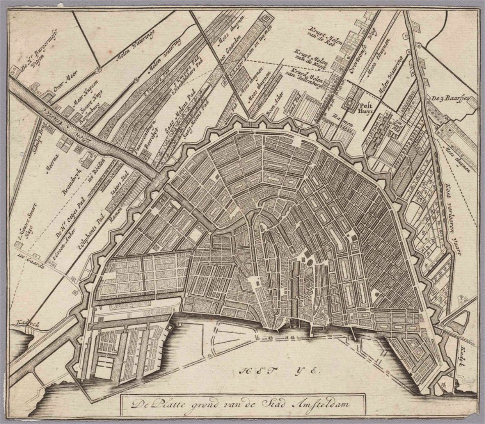
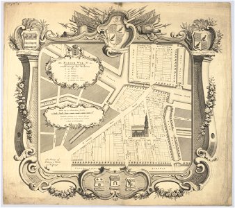
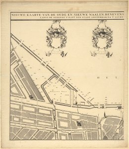
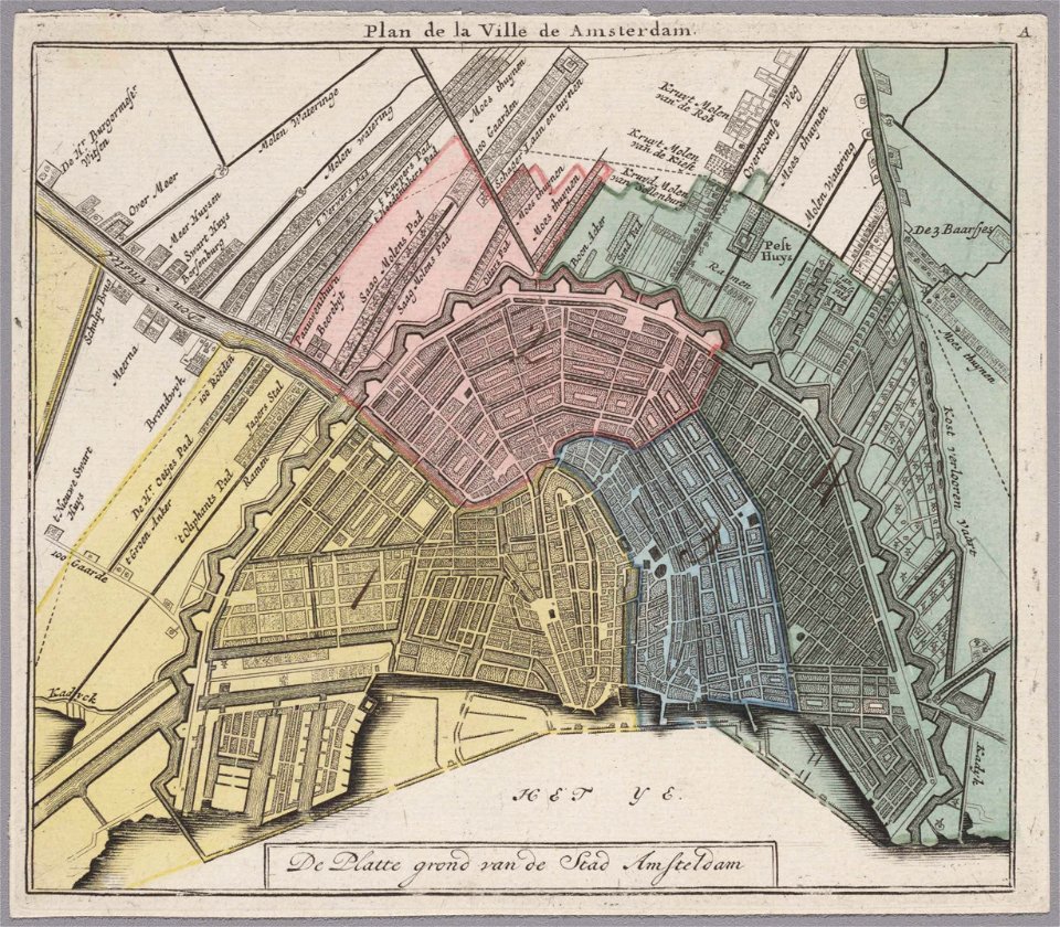
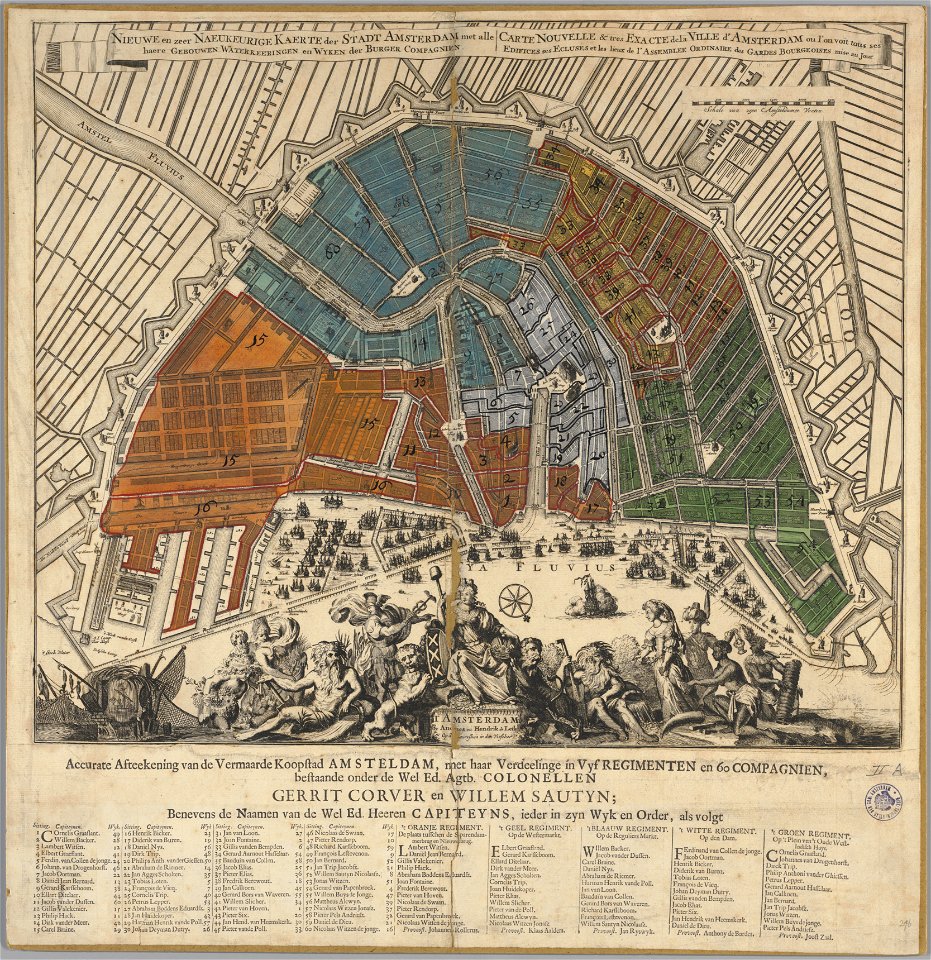
maps in the stadsarchief amsterdam
hendrik de leth
astronomical maps
prints by wenzel hollar
university of toronto wenceslas hollar digital collection
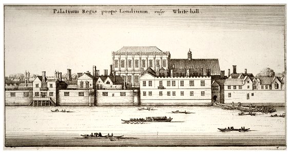
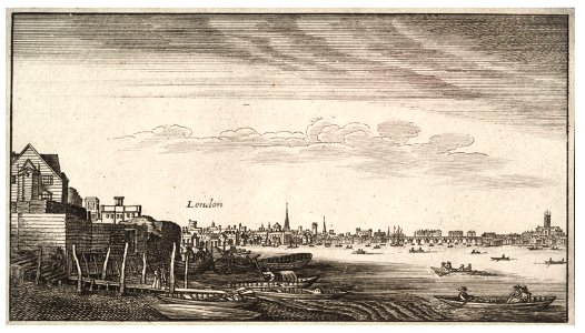
hollar maps and plans of london
popular science monthly illustrations/volume 32
maps by sebastian münster
jan caspar philips
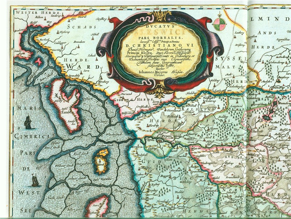
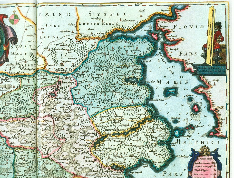
ducatus sleswici pars borealis
popular science monthly illustrations/volume 32
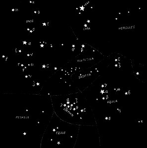
astronomical maps
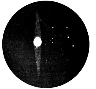
popular science monthly illustrations/volume 32
astronomical maps
popular science monthly illustrations/volume 32
astronomical maps
popular science monthly illustrations/volume 32
astronomical maps
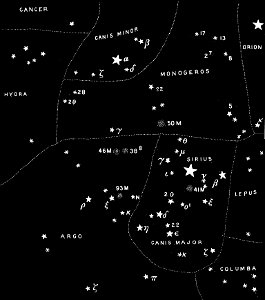
popular science monthly illustrations/volume 31
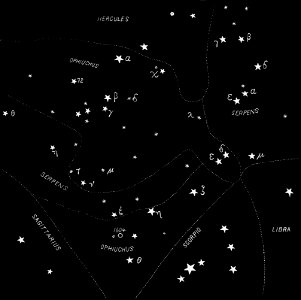
astronomical maps
popular science monthly illustrations/volume 31
astronomical maps
popular science monthly illustrations/volume 31
astronomical maps
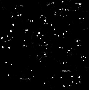
popular science monthly illustrations/volume 32
astronomical maps
maps in the british museum
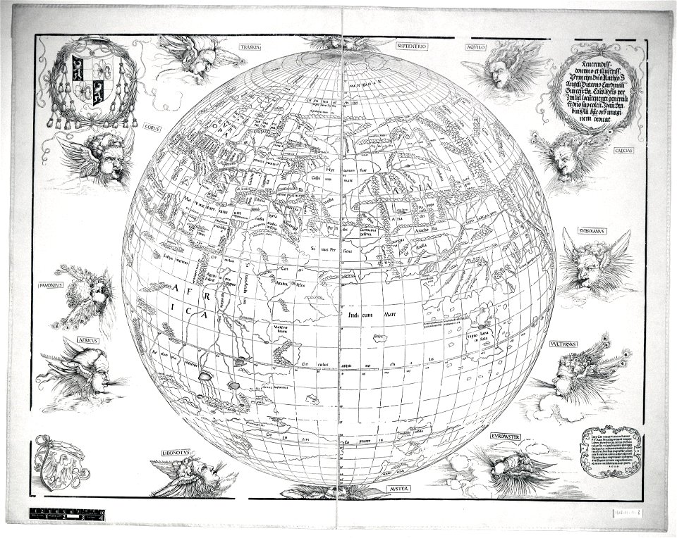
stabius world map
ptolemy's 10th european map
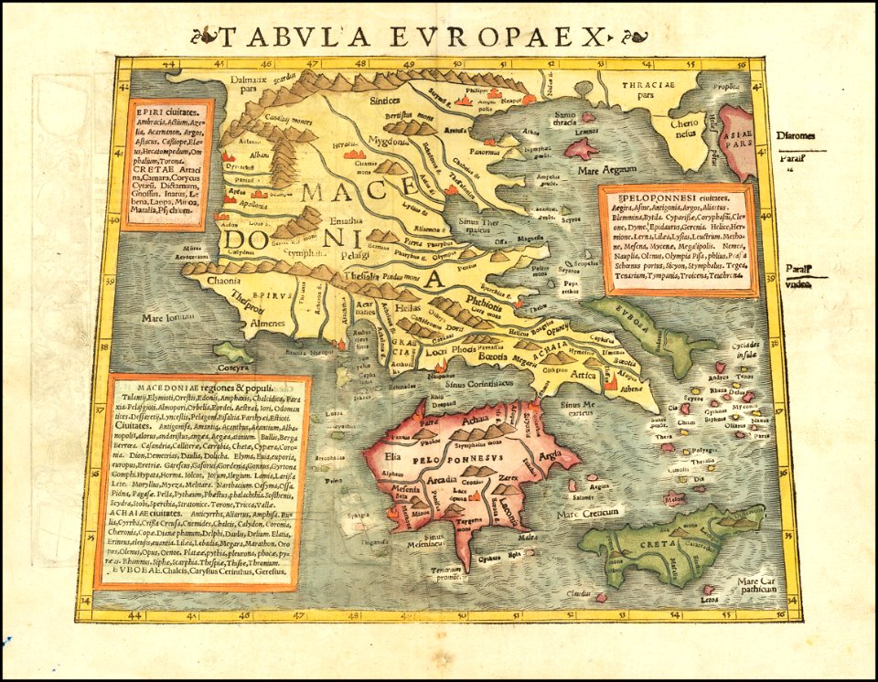
maps by sebastian münster
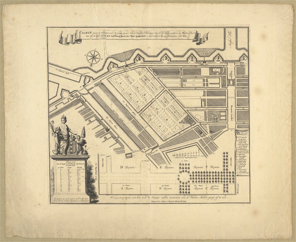
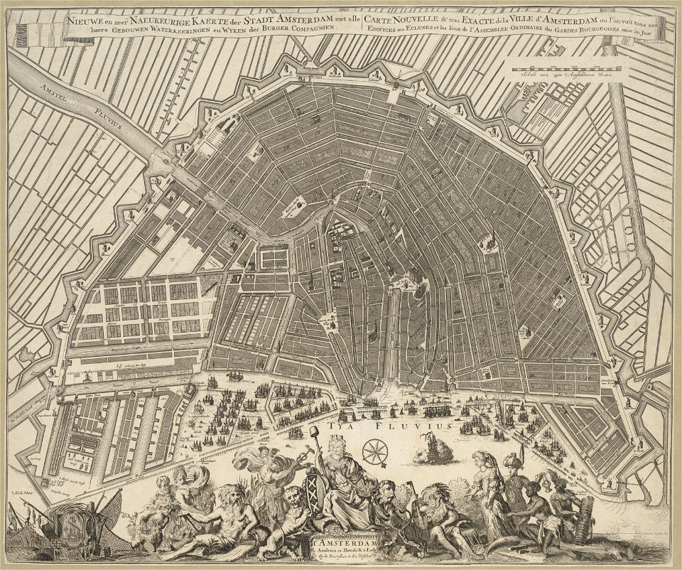
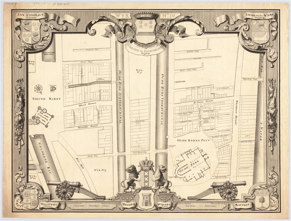
maps in the stadsarchief amsterdam
romeyn de hooghe
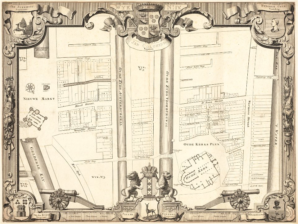
maps in the stadsarchief amsterdam
romeyn de hooghe
maps in the stadsarchief amsterdam
romeyn de hooghe
maps by royal bavarian land tax commission
kager
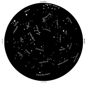
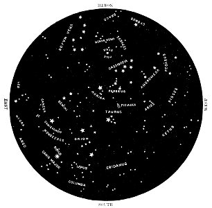
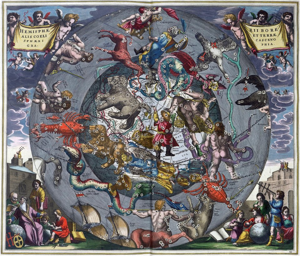
northern hemisphere
maps with figures
northern hemisphere
maps with figures
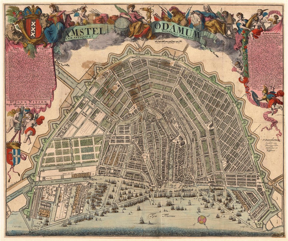
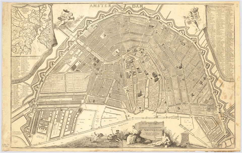
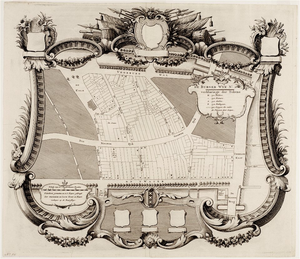
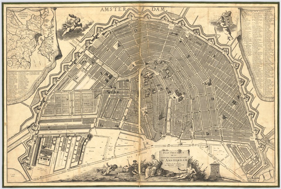
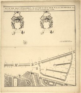
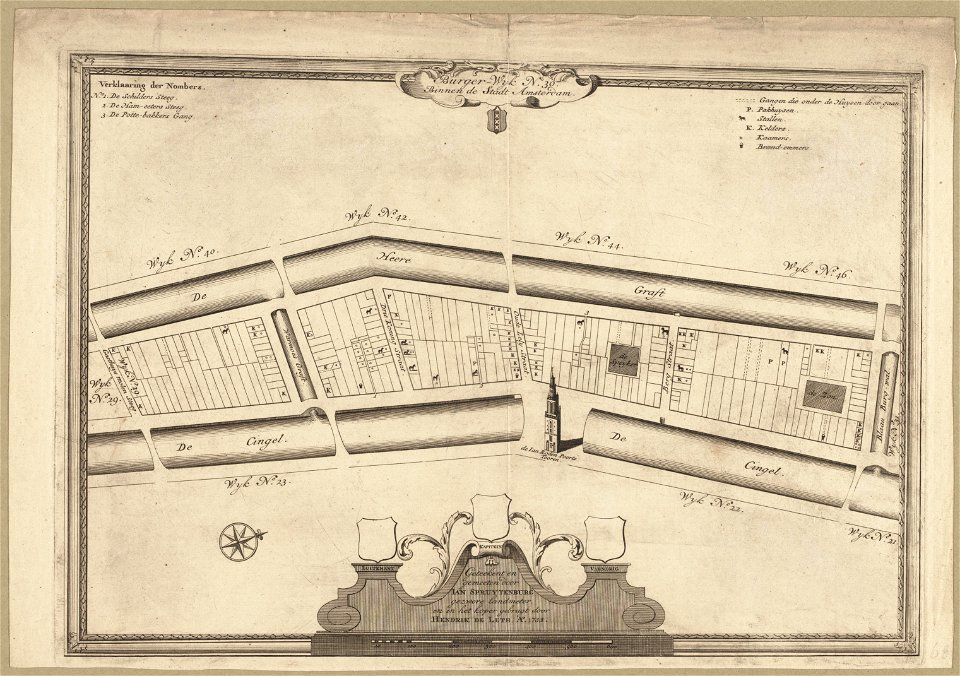
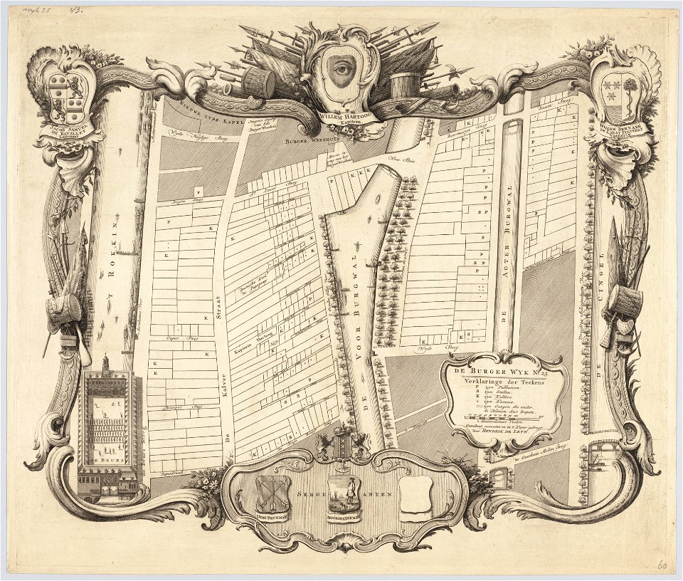
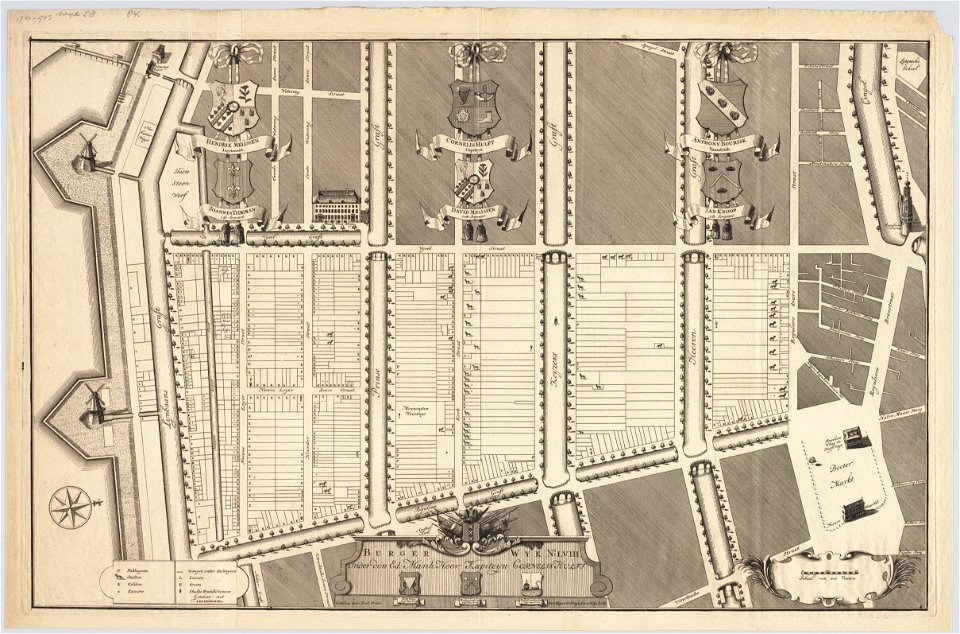
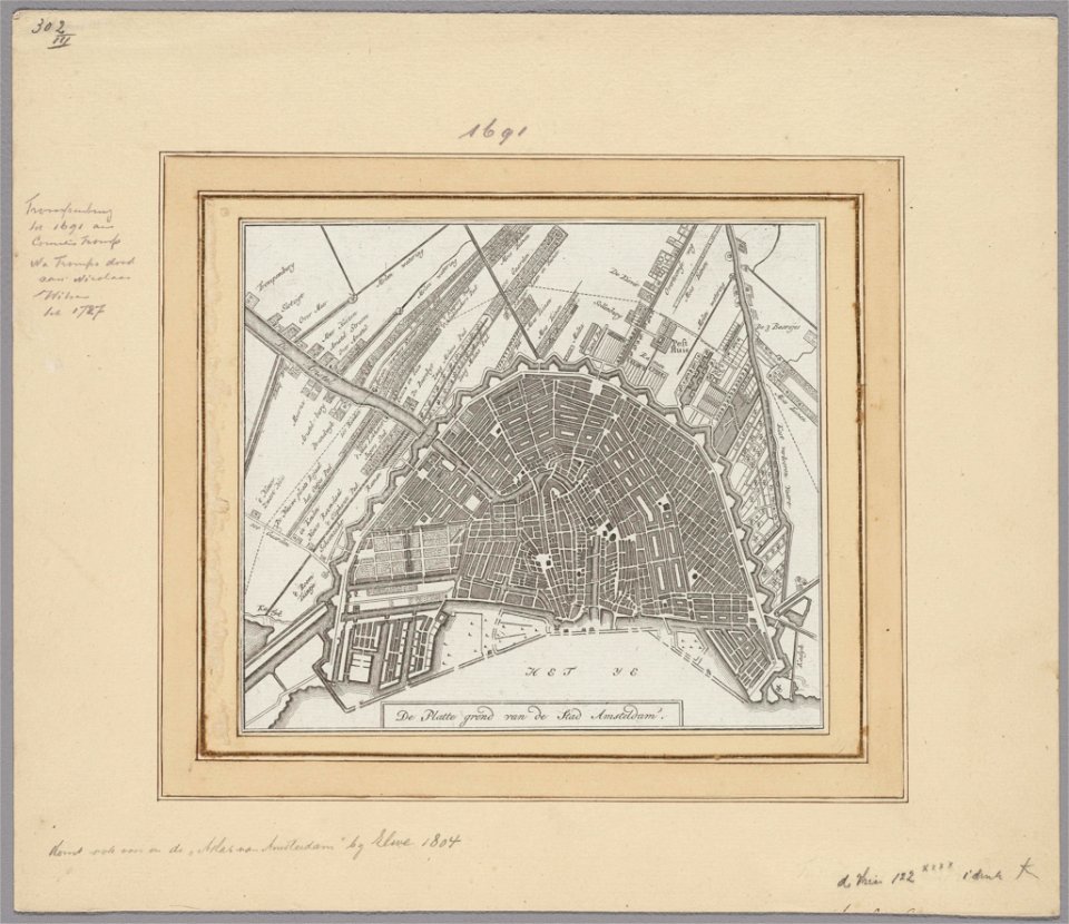
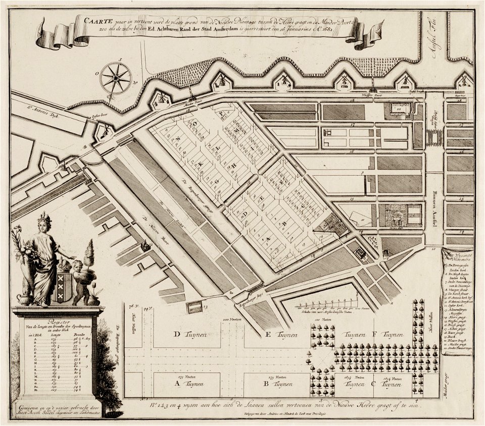
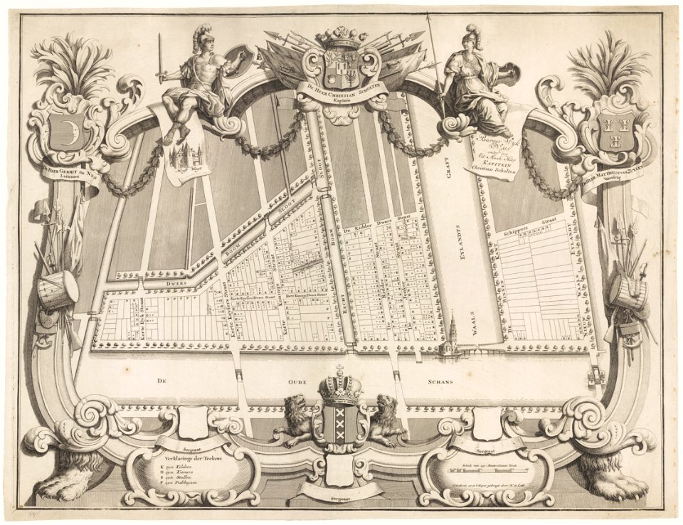
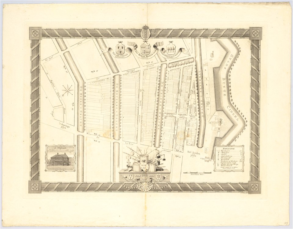
maps in the stadsarchief amsterdam
hendrik de leth
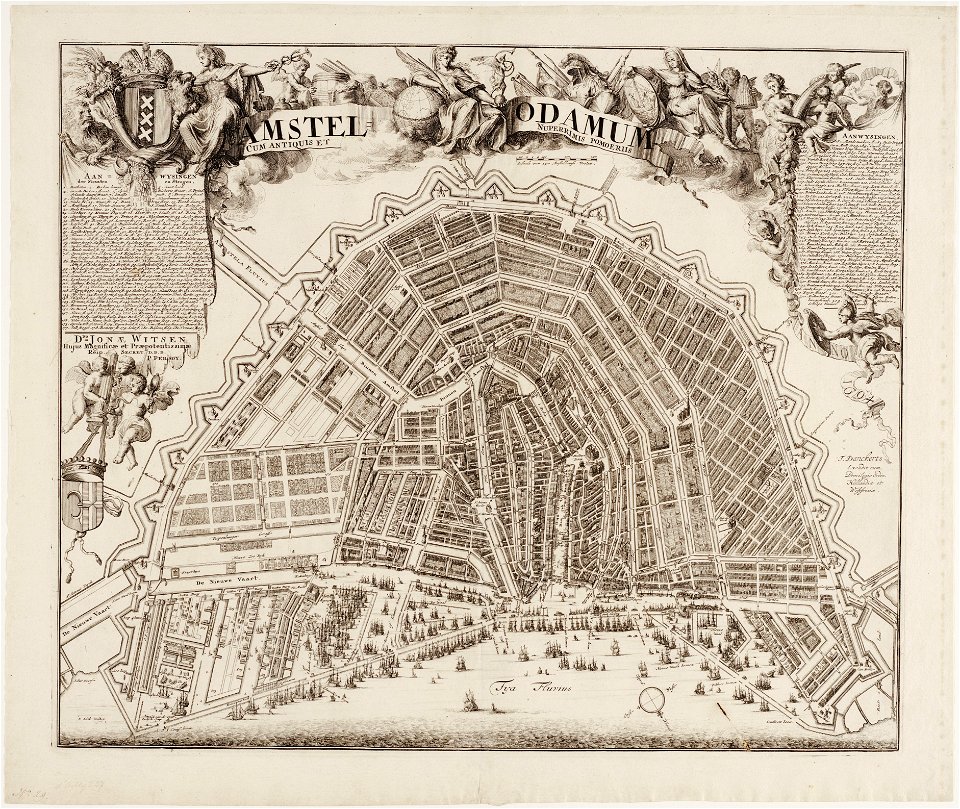
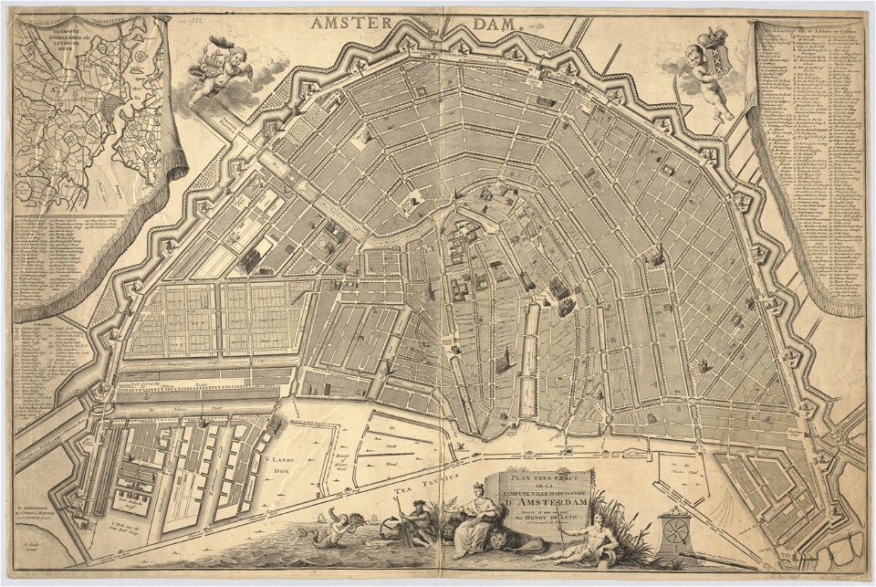
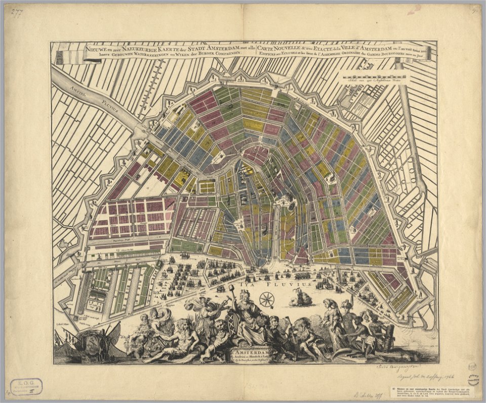
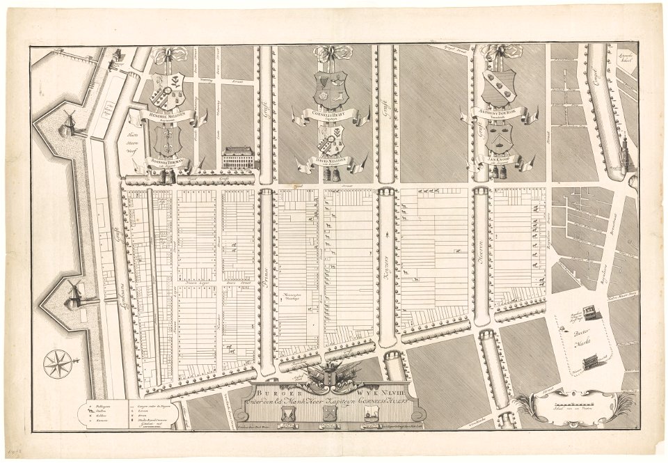
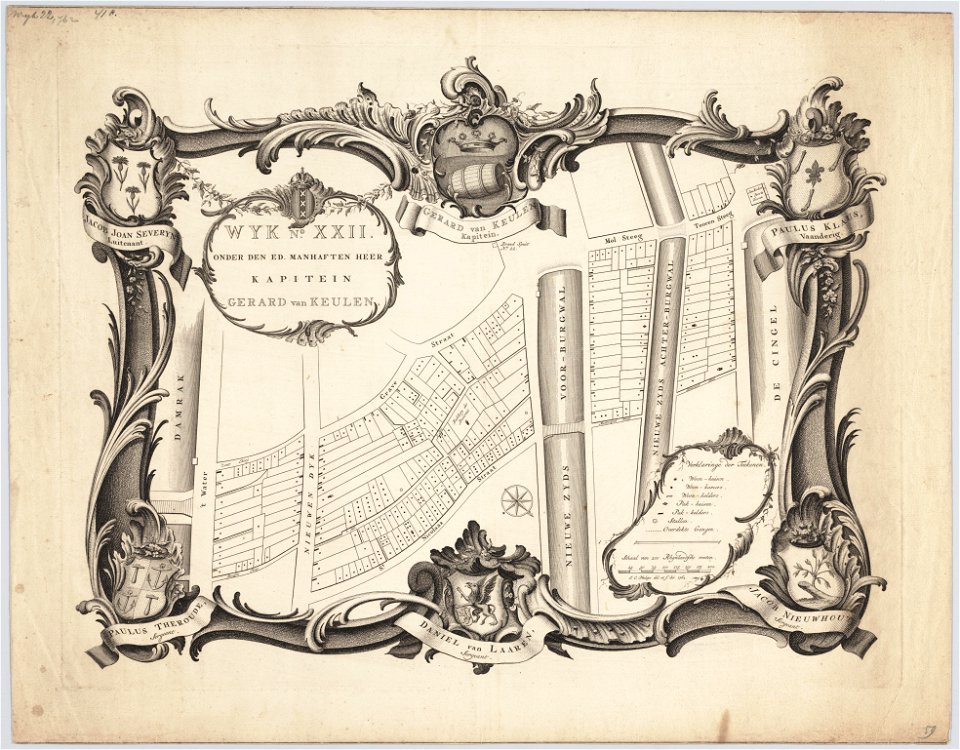
maps in the stadsarchief amsterdam
hendrik de leth
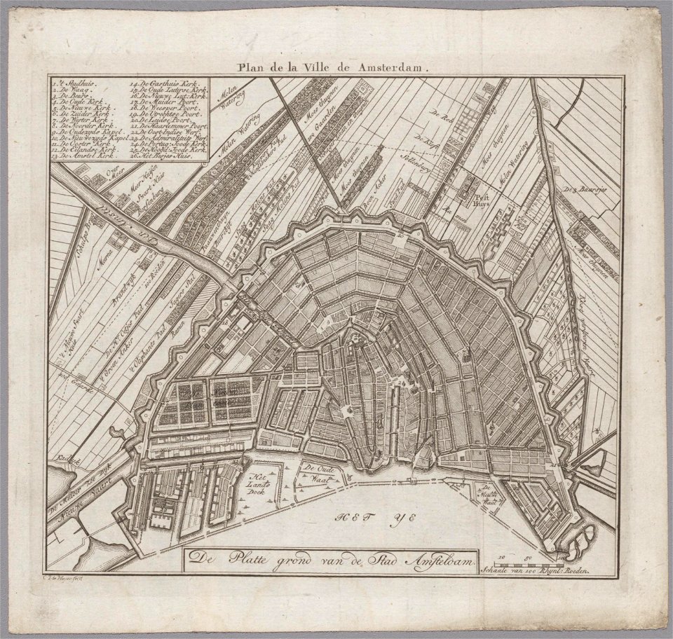
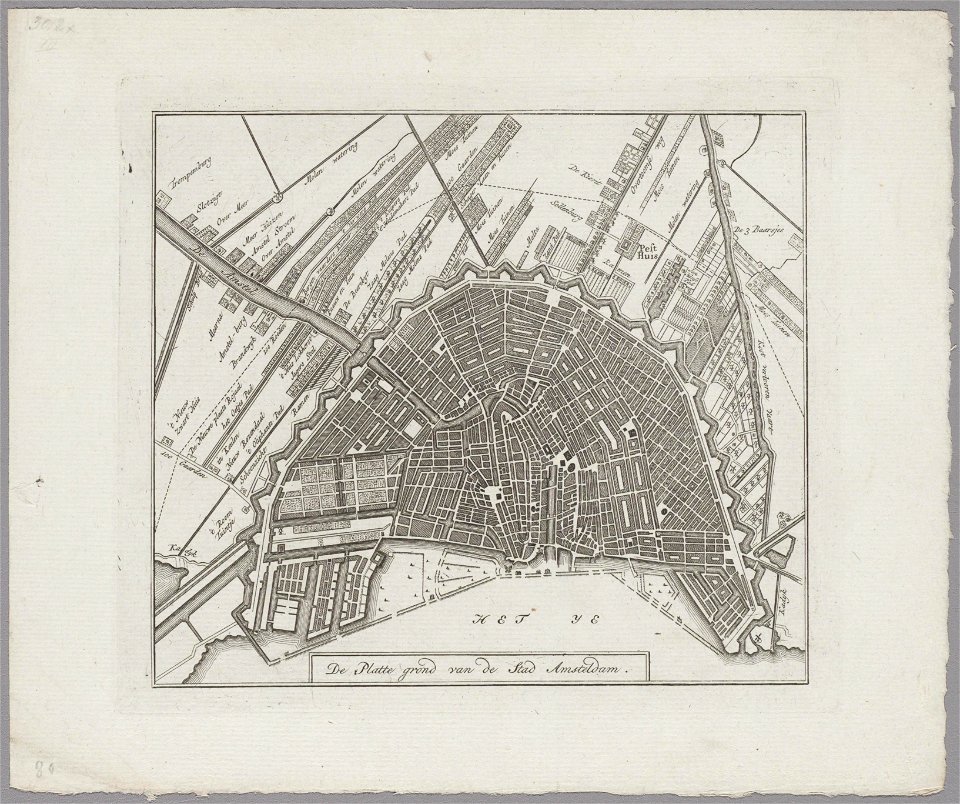
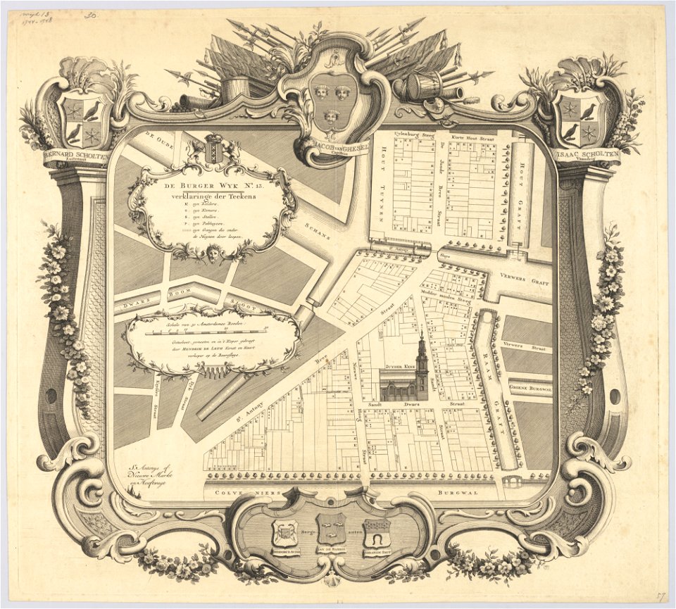
maps in the stadsarchief amsterdam
hendrik de leth
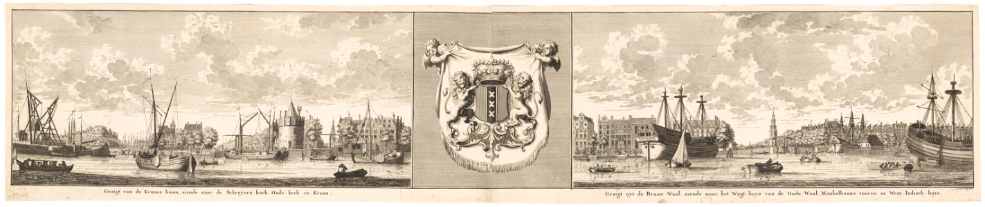
maps in the stadsarchief amsterdam
hendrik de leth
maps in the stadsarchief amsterdam
hendrik de leth
maps in the stadsarchief amsterdam
hendrik de leth
maps in the stadsarchief amsterdam
hendrik de leth
maps in the stadsarchief amsterdam
hendrik de leth
maps in the stadsarchief amsterdam
hendrik de leth
maps in the stadsarchief amsterdam
hendrik de leth
maps in the stadsarchief amsterdam
hendrik de leth
maps in the stadsarchief amsterdam
hendrik de leth
maps in the stadsarchief amsterdam
hendrik de leth
maps in the stadsarchief amsterdam
hendrik de leth
maps in the stadsarchief amsterdam
hendrik de leth
maps in the stadsarchief amsterdam
hendrik de leth
maps in the stadsarchief amsterdam
hendrik de leth
maps in the stadsarchief amsterdam
hendrik de leth
maps in the stadsarchief amsterdam
hendrik de leth
maps in the stadsarchief amsterdam
hendrik de leth
maps in the stadsarchief amsterdam
hendrik de leth
maps in the stadsarchief amsterdam
hendrik de leth
maps in the stadsarchief amsterdam
hendrik de leth
maps in the stadsarchief amsterdam
hendrik de leth
maps in the stadsarchief amsterdam
hendrik de leth
maps in the stadsarchief amsterdam
hendrik de leth
maps in the stadsarchief amsterdam
hendrik de leth
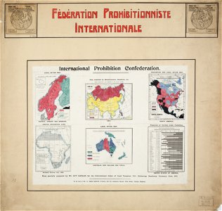
encyclopaedia universalis mundaneum
alcohol prohibition
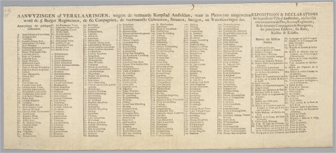
maps in the stadsarchief amsterdam
hendrik de leth
maps in the stadsarchief amsterdam
hendrik de leth
maps in the stadsarchief amsterdam
hendrik de leth
maps in the stadsarchief amsterdam
hendrik de leth
maps in the stadsarchief amsterdam
hendrik de leth
maps in the stadsarchief amsterdam
hendrik de leth
maps in the stadsarchief amsterdam
hendrik de leth
maps in the stadsarchief amsterdam
hendrik de leth
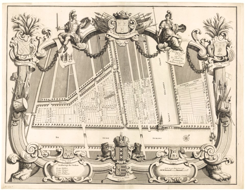
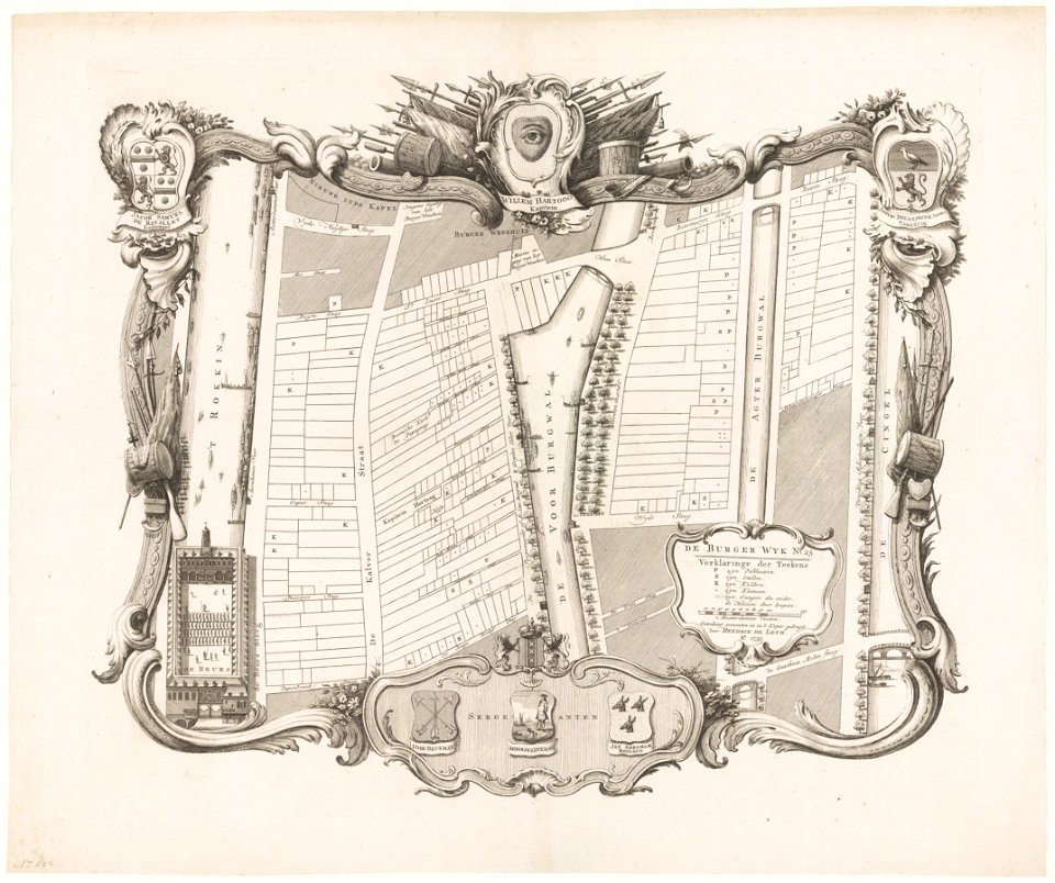
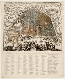
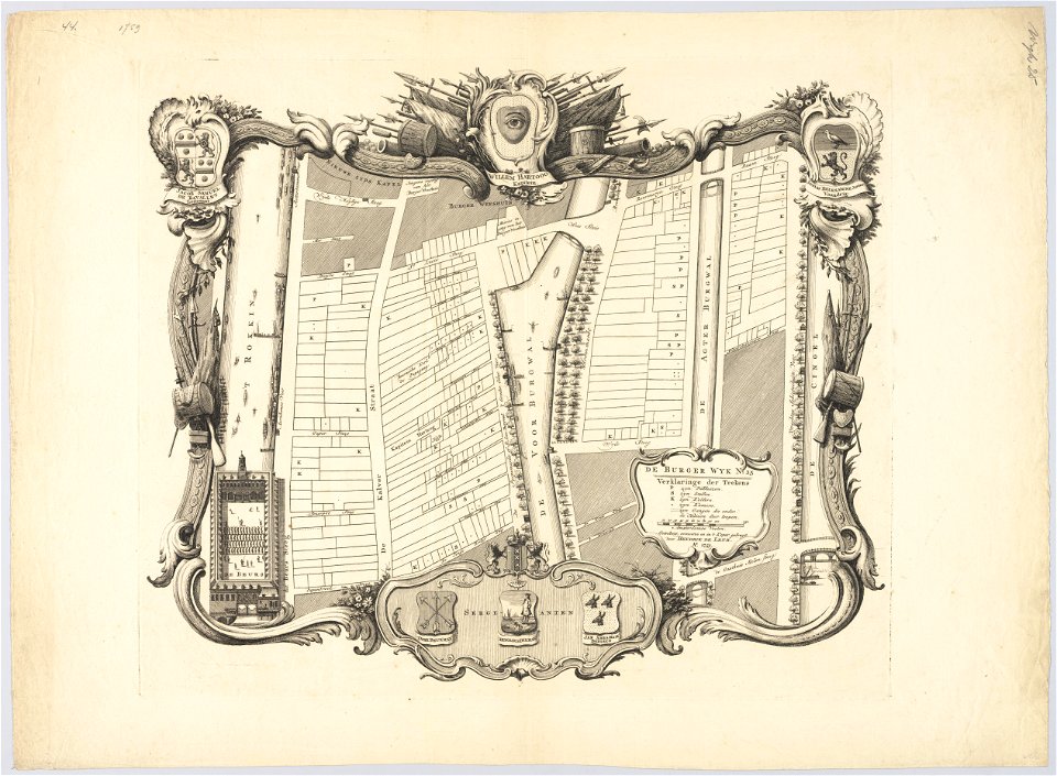
maps in the stadsarchief amsterdam
jan caspar philips
maps in the stadsarchief amsterdam
jan caspar philips
maps in the stadsarchief amsterdam
jan caspar philips
maps in the stadsarchief amsterdam
jan caspar philips
popular science monthly illustrations/volume 11
astronomical maps
ducatus sleswici pars borealis
maps by johannes mejer
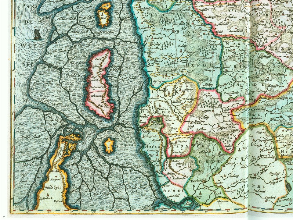
ducatus sleswici pars borealis
maps by johannes mejer
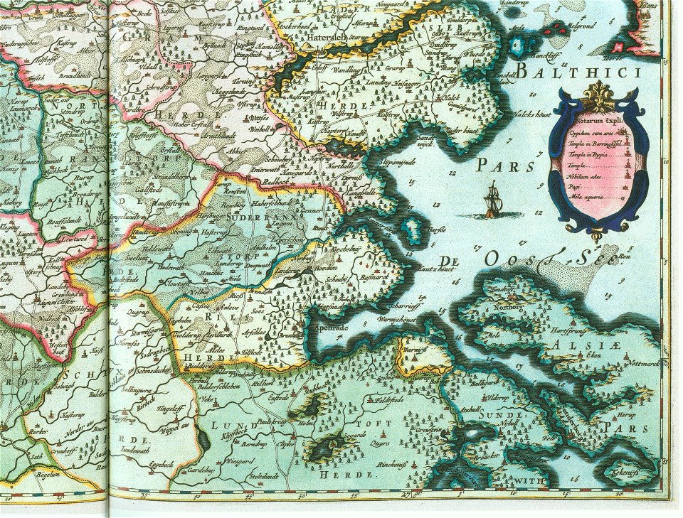
ducatus sleswici pars borealis
maps by johannes mejer
ducatus sleswici pars borealis
maps by johannes mejer
maps by sebastian münster
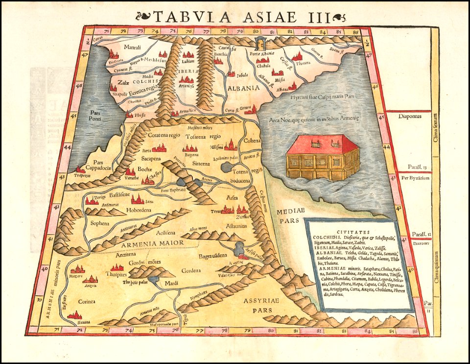
ptolemy's 11th asian map
ptolemy's 9th european map
maps by sebastian münster
maps by sebastian münster
ptolemy's 1st asian map
maps by sebastian münster
ptolemy's 3rd asian map
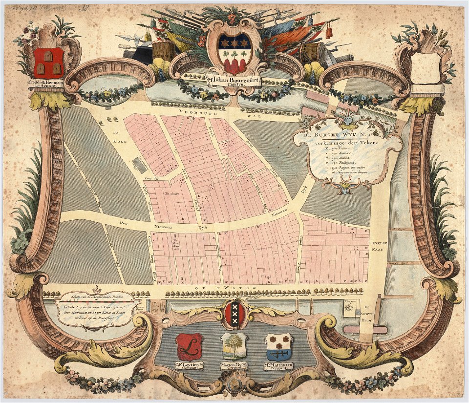
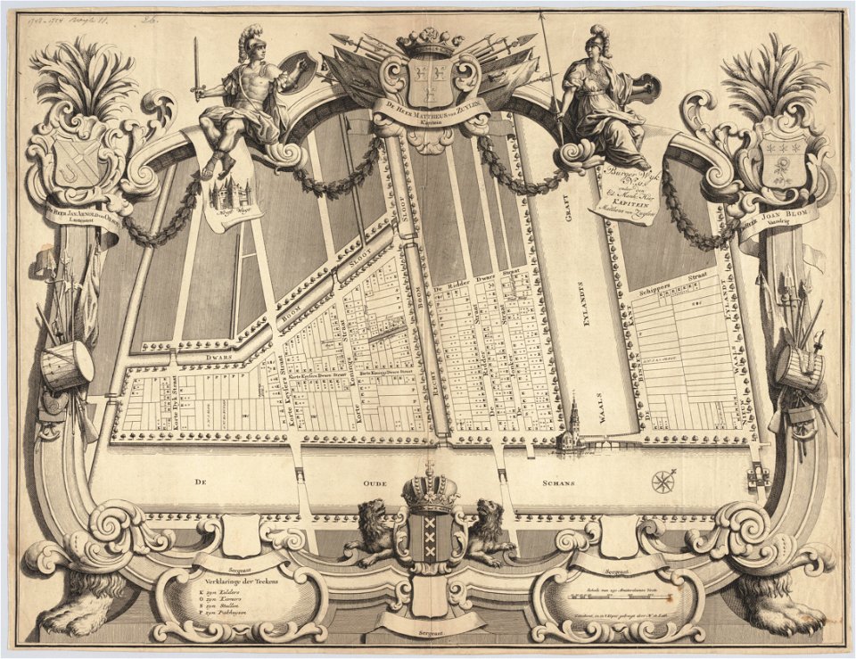
maps in the stadsarchief amsterdam
hendrik de leth
maps in the stadsarchief amsterdam
hendrik de leth
orientalism
edwin long
male portrait paintings by nicholas hilliard
tudor portrait miniatures
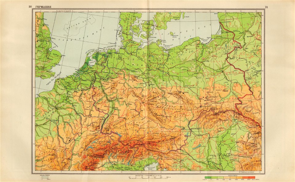
geographical atlas for the 5-6 grades of secondary school (1941)
old maps of the nazi germany
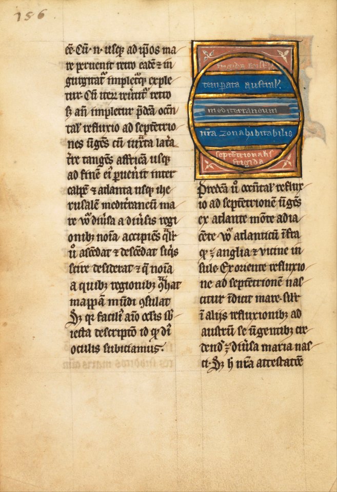
ms. ludwig xv 4 (getty museum) - bird book of hugo fouilloy
13th-century maps of the world
ms. ludwig xv 4 (getty museum) - bird book of hugo fouilloy
13th-century maps of the world
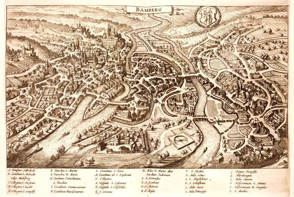
history of bamberg
bamberg
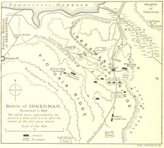
battle of inkerman
1895 drawings
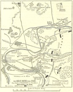
battle of villiers
1895 drawings
illustrated battles of the nineteenth century
1895 drawings
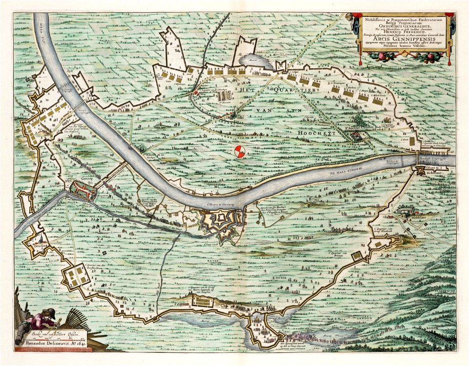
dutch 17th-century prints in the rijksmuseum amsterdam
ijssel
portrait of johan maurits of nassau-siegen by pieter nason (national museum in warsaw)
maps in art
old maps of slovakia
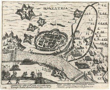
great turkish war
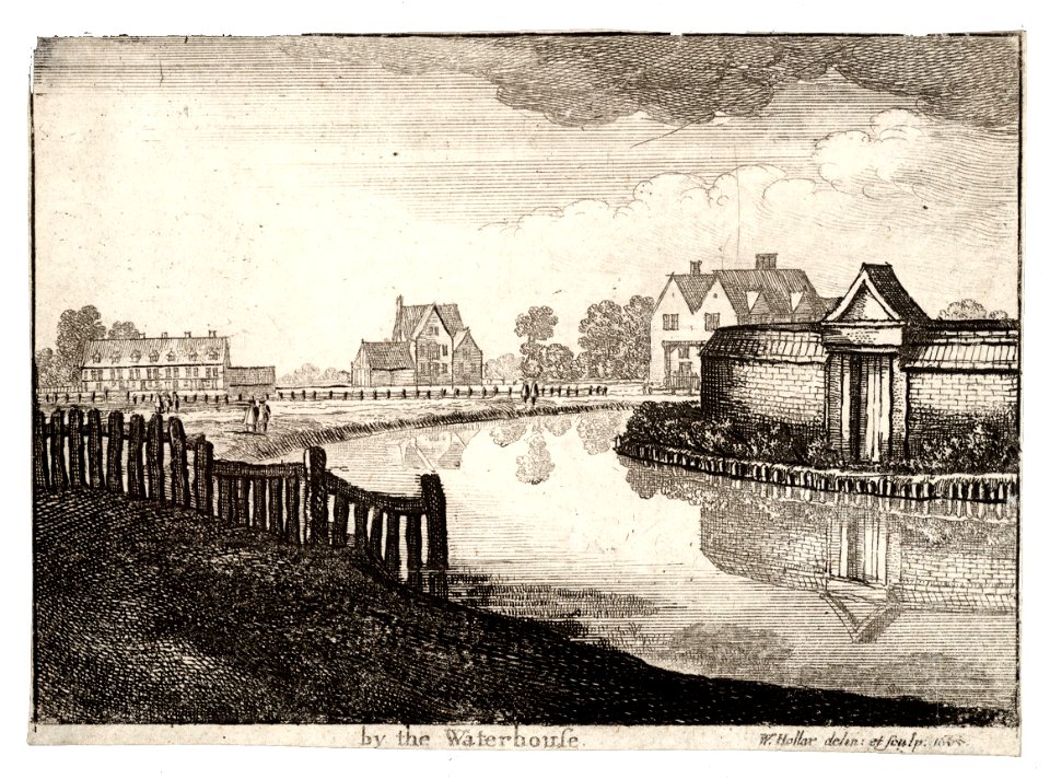
university of toronto wenceslas hollar digital collection
prints by wenzel hollar
university of toronto wenceslas hollar digital collection
prints by wenzel hollar
university of toronto wenceslas hollar digital collection
prints by wenzel hollar
university of toronto wenceslas hollar digital collection
prints by wenzel hollar
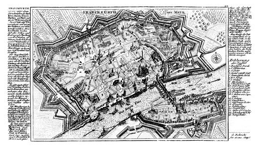
city walls of frankfurt am main
gabriel bodenehr
topographical paintings in the amsterdam museum
paintings of amsterdam
prints from the peace palace library
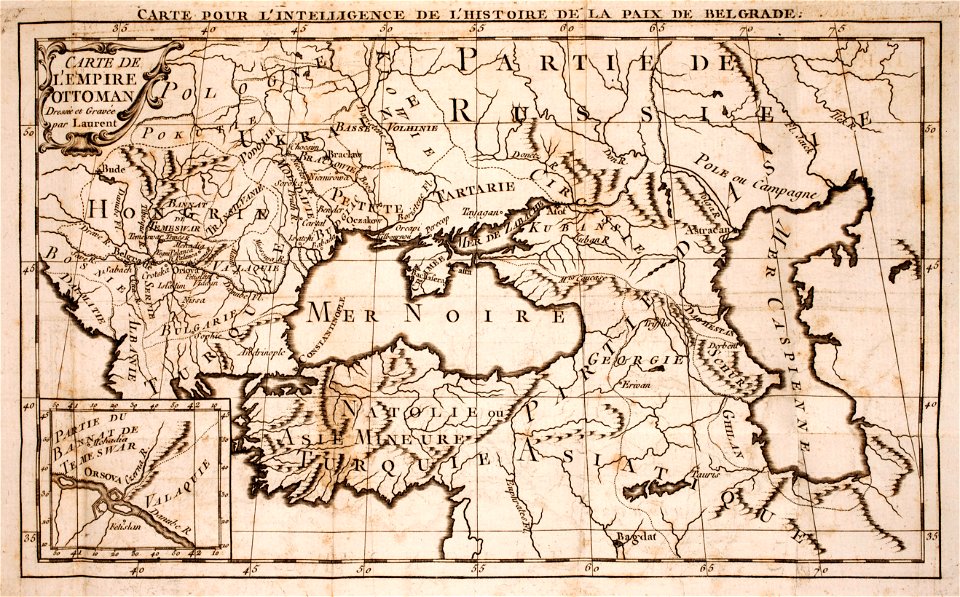
maps of the ottoman empire
travels in the interior of north america
during the years 1832–1834
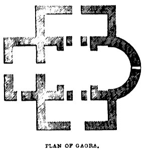
a history of the holy eastern church
georgia in the 19th century
california
san diego
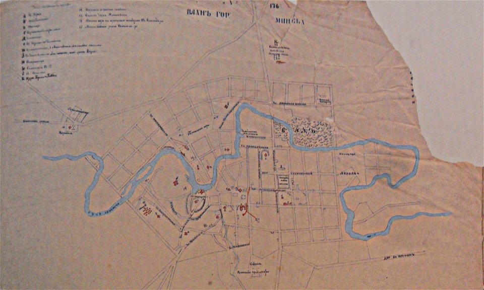
historical images of minsk
minsk in the 19th century
claes jansz. visscher (ii)
circumvallation
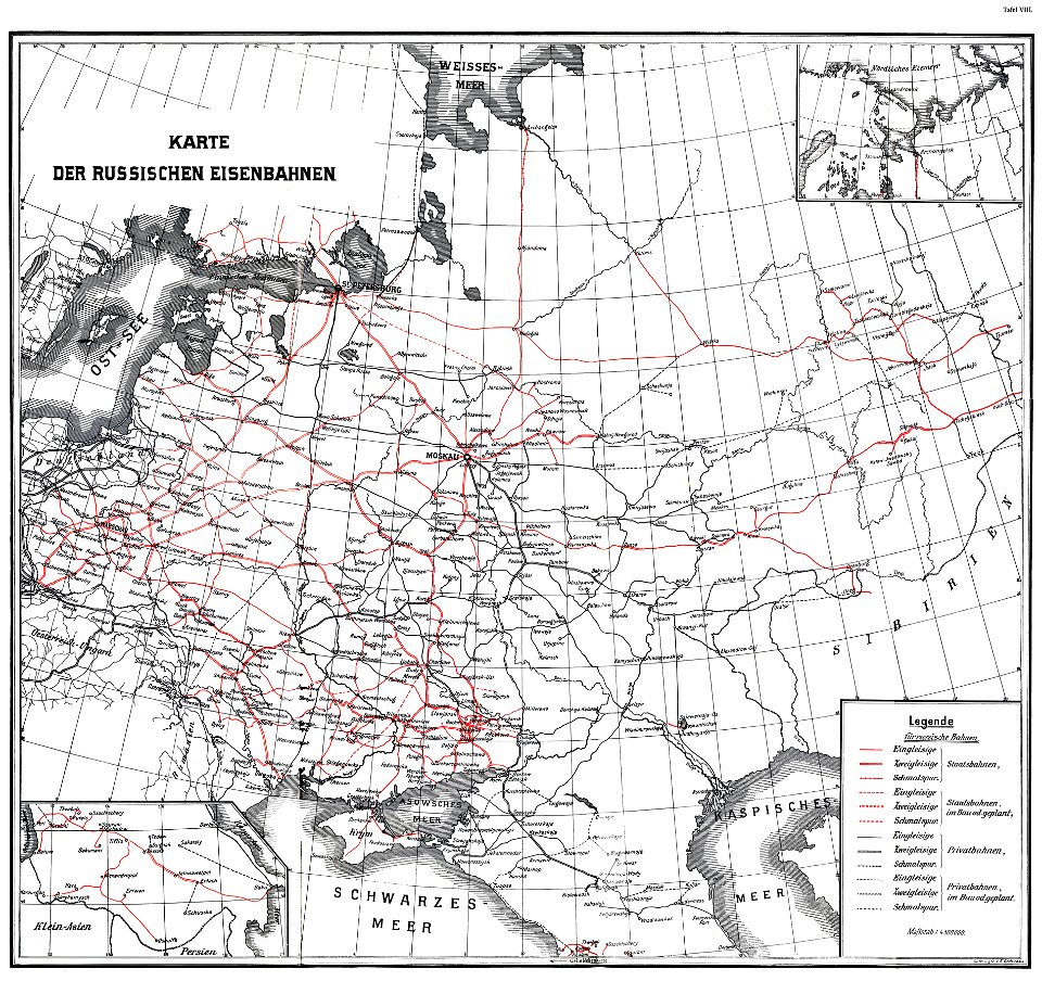
enzyklopädie des eisenbahnwesens
1912 in russia
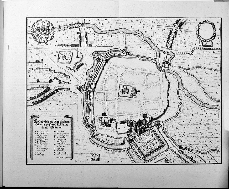
engravings of topographia saxoniae inferioris
güstrow in the 17th century
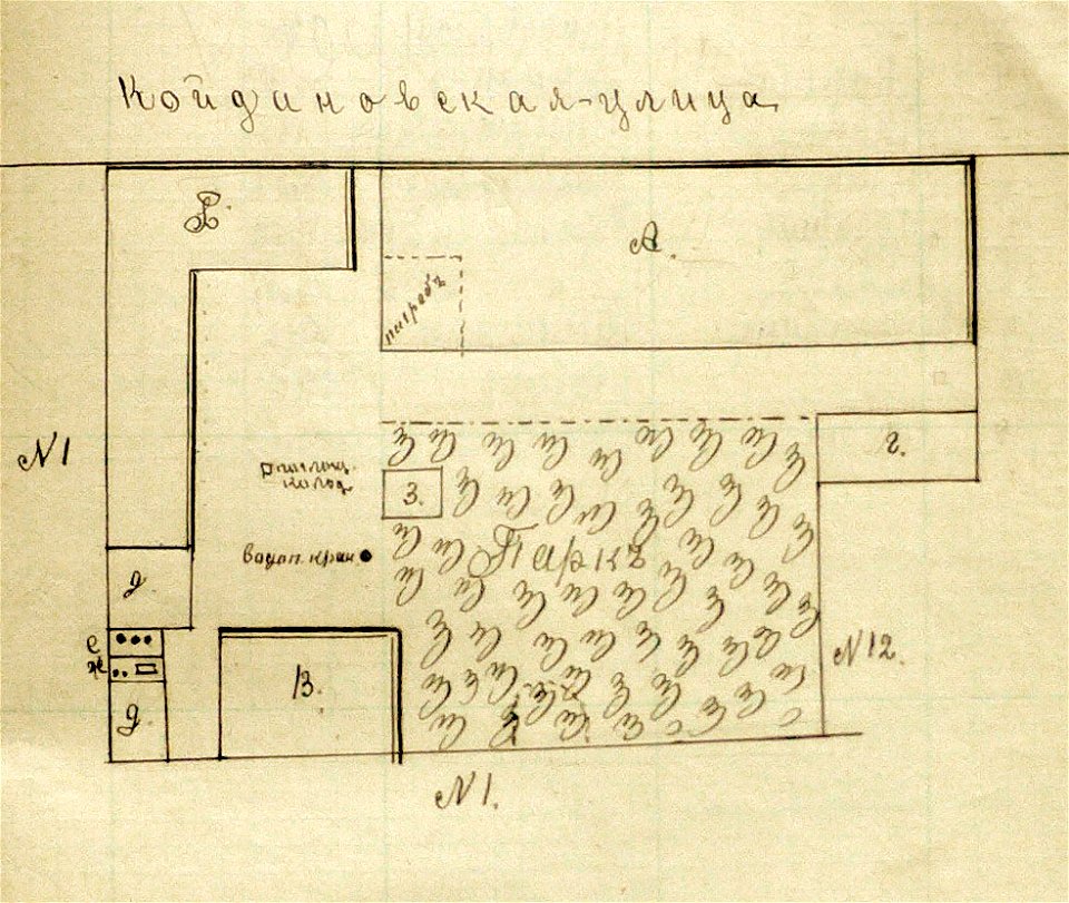
historical images of minsk
old maps of minsk
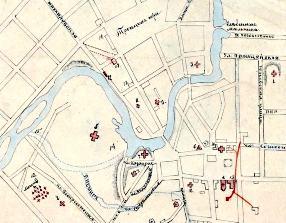
historical images of minsk
minsk in the 19th century
details of 1830 vienna map series by carl graf vasquez
palais rasumofsky
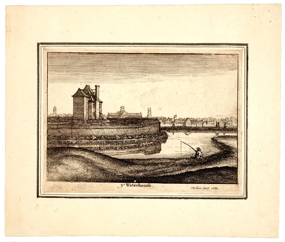
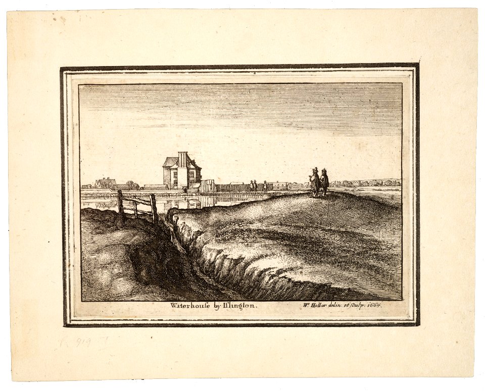
university of toronto wenceslas hollar digital collection
prints by wenzel hollar
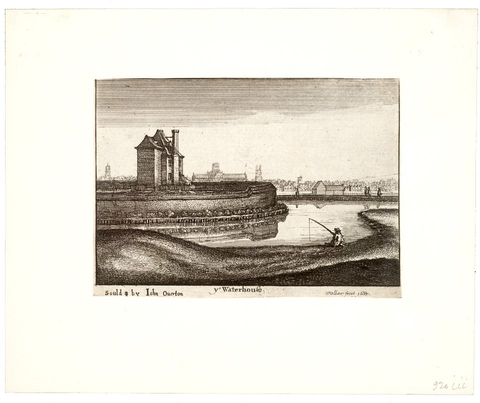
university of toronto wenceslas hollar digital collection
prints by wenzel hollar
university of toronto wenceslas hollar digital collection
prints by wenzel hollar
university of toronto wenceslas hollar digital collection
prints by wenzel hollar
9201 - 9300 of 1,096,167
Next page
/ 10962